To open the map, please click on the graphic above or here.
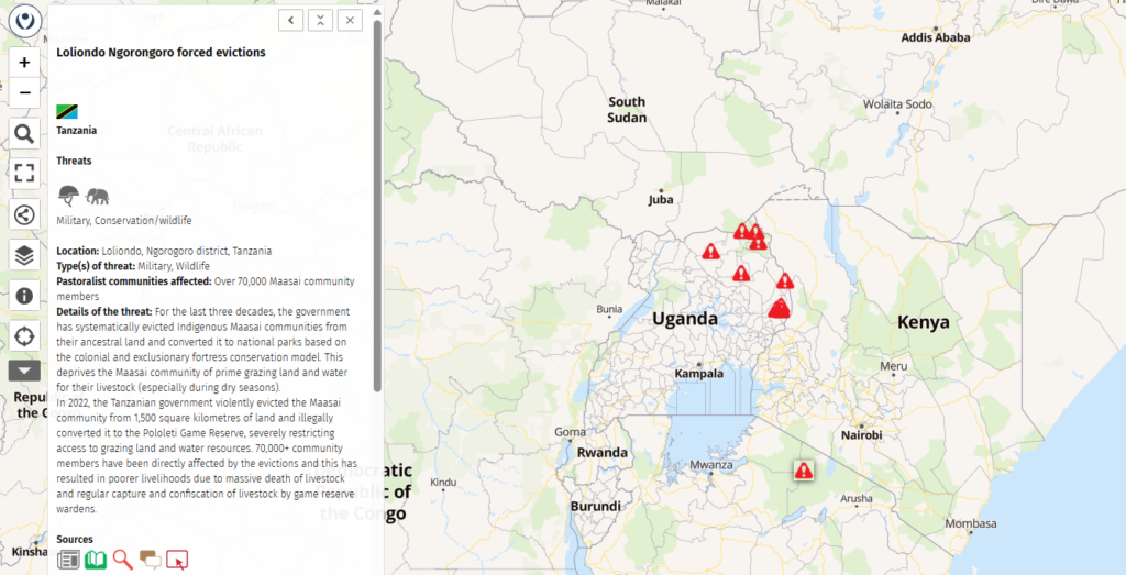
This map shows threats that face pastoralists worldwide. It focuses on threats to their access to land and the other resources they need to maintain their lifestyle: water, minerals, and the routes they follow to reach these.
The map is a work in progress and depends on contributions from you to fill it in. See below for how to do this.
- Click here to view the full webinar that launched the threats map.
- Clcik here for the presentation of the threats map.
Pastoralists face many threats, mainly because of land conversion that restricts their access to their customary grazing areas and water points, as well as hinders their movements. These make it difficult for them to continue livestock herding. Many pastoralists live in remote areas, so the problems they face are often invisible to the outside world. This map aims to document these threats and make them more visible.
Why land?
We focus on land-related aspects because land is the most important basis for pastoralism. Without somewhere to graze livestock, pastoralism as a production system cannot survive. Once lost, land is very difficult for pastoralists to recover.
Pastoralists depend on access to their customary grazing lands and water sources for managing their herds. They also need to be able to move their animals from place to place – to take advantage of the grazing and water in particular areas. This map focuses on those threats that restrict herders’ access land and water, or that limit their mobility. It does not include short-term problems or individual events (such as a temporary road blockage or a clash between two groups). Rather, it depicts long-term, widespread threats that affect the viability of pastoralism in an area.
Types of threats
We include the following types of land-related threats (a single instance may involve more than one of these):
 Afforestation: the expansion of forests and bush, including for carbon offsets, so excluding pastoralists.
 Agriculture and irrigation: the expansion of cropping into grazing areas.
  Conflict: violent conflict making it dangerous for herders to use certain areas.
 Dams: the building of dams that flood grazing areas or cut off access to them.
 Green energy: the expropriation of land for plantations or for solar and wind farms.
 Military: the expropriation of land for training or other military purposes.
 Mining: the expropriation of land for mineral or oil exploitation.
 Movement: rules or physical barriers restricting the movement of pastoralists.
 Water: the loss of access to water.
 Wildlife: the designation of grazing land as nature, tourism or hunting reserves, “fortress conservation” that excludes pastoralists.
 Other: land-related threats not included above.
Please feel free to suggest other types of land-related threats to include by sending an email to mapping@pastoralpeoples.org.
Other threats
Pastoralists face many other problems, including the following:
- Access to services: health, education, markets, veterinary care.
- Threats to production: pests, diseases, predators, breeding, feed.
- Adverse policies: enforced sedentarization, bureaucracy, taxation.
- Economic pressures: lack of profitability, high costs, low product prices, labour shortages.
- Climate change: rainfall, heat, drought.
- Succession: attracting young people to become pastoralists.
We include such threats only if they directly affect the pastoralists’ access to land.
How to contribute
You can contribute to the map in one of two ways:
- By filling in the data input form here: https://tinyurl.com/pastoralist-threats. This is the preferred option.
- By sending an email to mapping@pastoralpeoples.org with a detailed description of the threat.
In both cases, please include the following information:
- You: Your name, the name of your organization, and your contact details (we will keep this information confidential).
- Overview: General information about the threat.
- Location details: Where is the threat occurring? Who is affected?
- Threat details: Detailed information about the nature of the threat in 100 words or less, plus how the community is responding (also up to 100 words).
- Information sources: Where does this information come from? Please provide details of publications, websites, news articles, etc. We cannot include information without suitable supporting evidence.
Please use a neutral tone and avoid polemics. You can submit the information in any language (it will be published in English).
We will check the information you provide, edit it if necessary, and check back with you if we need additional information.
Once we have done this, we will upload it to the map.
Thank you for your inputs!
LPP’s maps on pastoralism
- World map of pastoralists: information on 1000+ groups of pastoralists worldwide.
- World map of pastoralists’ migration routes: maps of pastoralists’ migration patterns.
- World map of threats to pastoralism: map of threats to access to land, water, minerals and migration routes.
- Videos on pastoralism: 160+ videos on a world map.
- World map of camelids: prepared for the International Year of Camelids 2024.
- Weidehaltung und Hirtentum in Deutschland (Grazing and herding in Germany): prepared for the Bündnis für Weidelandschaften und Hirtentum, the German support group for the International Year for Rangelands and Pastoralism (in German).