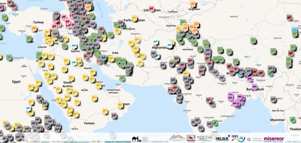
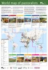
The interactive Pastoralist Map currently has information on 1000+ groups of pastoralists worldwide. To open the map, please click on the graphic above or here.
Click on any of the small icons to see details of that group in the sidebar. Click on the edges of the red or brown rectangles to show maps of pastoralists’ migration routes.
Show or hide layers using the Open browser icon ![]() on the left. See further information by clicking on the About icon
on the left. See further information by clicking on the About icon![]() . Change the background map by clicking on the arrow below the coloured map icon
. Change the background map by clicking on the arrow below the coloured map icon ![]() . Maximize the sidebar by clicking on Toggle size
. Maximize the sidebar by clicking on Toggle size ![]() at the top of the sidebar.
at the top of the sidebar.
Corrections and additions most welcome! Please contact mapping@pastoralpeoples.org
About the map
Click here for details.
Related visual material
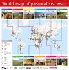
 Landscape poster, suitable for slideshows
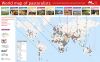
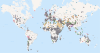 World map only (no text)
Other visualizations based on the map
- Rural 21: International Journal for Rural Development 28.06.2024
- IIED/Misereor Pastoralism in development. Self-study online course (available Sep 2025).
- GRaSS Alliance. 2023. Valuing grasslands: Critical ecosystems for nature, climate and people. Discussion paper. Pp. 14-15
Grasslands, Rangelands, Savannahs and Shrublands Alliance.
Other maps prepared by LPP
- World map of pastoralists’ migration routes: maps of pastoralists’ migration patterns.
- Videos on pastoralism: 160+ videos on a world map.
- World map of camelids: prepared for the International Year of Camelids 2024.
- Weidehaltung und Hirtentum in Deutschland (Grazing and herding in Germany): prepared for the Bündnis für Weidelandschaften und Hirtentum, the German support group for the International Year for Rangelands and Pastoralism (in German).
The map is a project of: