Pastoralists are mobile: they take their herds and flocks to find grazing, browse, water, minerals and markets. Our world map displays maps of the routes they follow and the areas they use to graze their animals at different times of the year.
- The red and orange rectangles
 show migration patterns. Zoom in to see maps covering smaller areas. Click on the edge of the rectangle to get a pop-up box; click on the map in the box for a larger version of the map.
 - The coloured dots show the approximate locations of pastoralist groups. Click on a dot to see more information on that group.
The pop-up maps are drawn from various sources, including academic papers, migration- and disease-monitoring systems, public-awareness materials, project reports and dedicated mapping exercises.
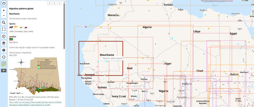
To open the map, click on the image above or here.
Types of routes shown
- Seasonal migrations, such as between wet- and dry-season grazing areas or summer and winter pastures.
- Designated livestock corridors or droveways.
- Commercial routes used to take livestock to market.
- Crisis routes: directions followed during a crisis such as a drought.
- Caravan routes, where pack animals transport goods.
- Grazing areas used at different times of the year.
Some of these movements follow fixed routes, such as cañadas (Spain), drailles (France), tratturi (Italy), travelling stock routes (Australia) and livestock corridors (parts of Africa). Others are less well defined. Many migration patterns appear as general directional arrows rather than as specific routes. The precise routes may be derived from pre-existing maps, GPS tracking or interviews with herders.
Movement patterns change over time
The maps shown are recent and (as far as we know) reflect current movement patterns.
However, pastoralism evolves in response to changing economic opportunities, a changing climate, and new ways to transport and care for animals. It is now possible to use lorries to bring fodder ansd water to livestock, rather than trekking animals for days to reach the nearest water source. Many animals are now moved by lorry rather than on the hoof.
Migration routes may be blocked by violent conflict, political changes, border controls, and the expansion of cropping, mining or urban areas. Pastoralists may lose access to grazing land because of fences, the designation of wildlife conservation areas, land conversion to other uses, and the loss of vital services such as water supplies or overnight grazing areas en route.
New routes
Do you have suggestions on how to improve this map? Do you know of other maps not yet included? Please get in touch!
LPP’s maps on pastoralism
- World map of pastoralists: information on 1000+ groups of pastoralists worldwide.
- World map of pastoralists’ migration routes: maps of pastoralists’ migration patterns.
- World map of threats to pastoralism: map of threats to access to land, water, minerals and migration routes.
- Videos on pastoralism: 160+ videos on a world map.
- World map of camelids: prepared for the International Year of Camelids 2024.
- Weidehaltung und Hirtentum in Deutschland (Grazing and herding in Germany): prepared for the Bündnis für Weidelandschaften und Hirtentum, the German support group for the International Year for Rangelands and Pastoralism (in German).